Digital Earth Arabia Data & Products
Jump to: DE Arabia Data Services | External Datasets
DE Arabia Data Services
Digital Earth Arabia data services are national scale outputs that are produced by Digital Earth Arabia from various combinations of the external datasets using specified modelling and calculation techniques, with validation also undertaken.
Empty (No products produced yet)
External Datasets
External Datasets are datasets that are made available to, and within Digital Earth Arabia, but are not produced or maintained by Digital Earth Arabia.
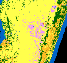
Land Cover
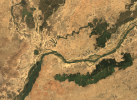
Satellite images
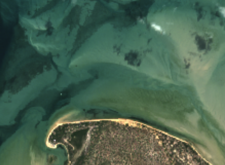
Urban
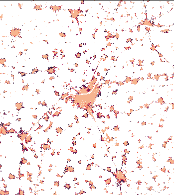
The World Settlement Footprint WSF is a 10m-resolution binary mask outlining the extent of human settlements globally for the years 2015 and 2019 based on multiple datasets, and the World Settlement Footprint Evolution shows the annual growth of human settlements globally at 30m-resolution.
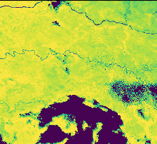
Vegetation
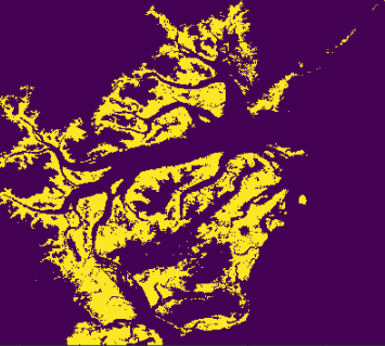
Global Mangrove Watch global baseline map of mangroves for 2010 and change maps for 1996, 2007, 2008, 2009, 2015 - 2020.
If you have any feedback for the DE Arabia data and services, please contact us at.